
Case study: planning a maple bush with drone LiDAR
Plan a maple bush before cutting the first ribbon
Before installing a maple bush, you need to know where the hardwoods are, how the ground drains under the canopy and where tubing can exit the forest naturally. Walking 58 hectares with ribbon is slow, and under-canopy relief stays hard to read.
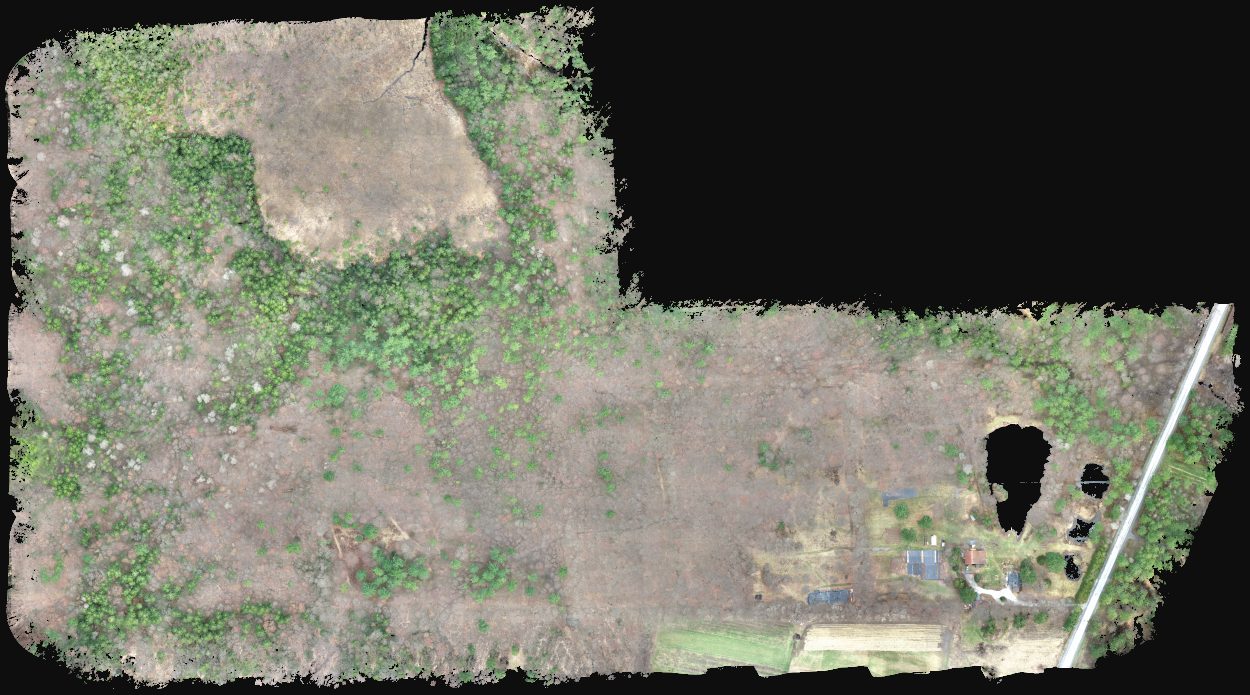
We flew an Eastern Townships forest in spring, before leaf-out, with a DJI Zenmuse L1 LiDAR sensor. The laser sees the ground under the trees, separates hardwoods from softwoods and traces where maple sap will flow naturally.
The mandate
- Site
- a forest of about 58 hectares in Quebec’s Eastern Townships, with maple potential to assess before development.
- Objective
- map stand types, under-canopy terrain and slopes, then propose a preliminary tubing layout and collection points.
- Constraint
- the canopy hides the ground from the naked eye; a spring survey (before leaf-out) was required so the laser could reach the terrain under hardwoods.
Our approach
- 1
Spring LiDAR flights
10 automated flights before leaf-out: about 1,700 points/m², or 1.4 billion points. Without leaves, the laser reaches the ground under hardwoods.
- 2
Terrain under the forest
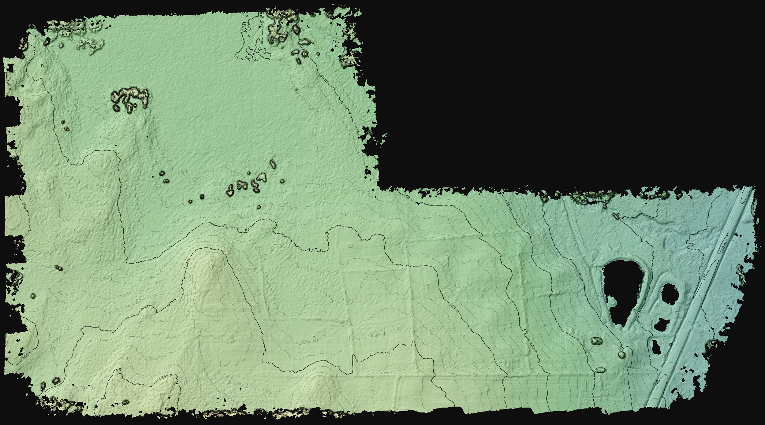
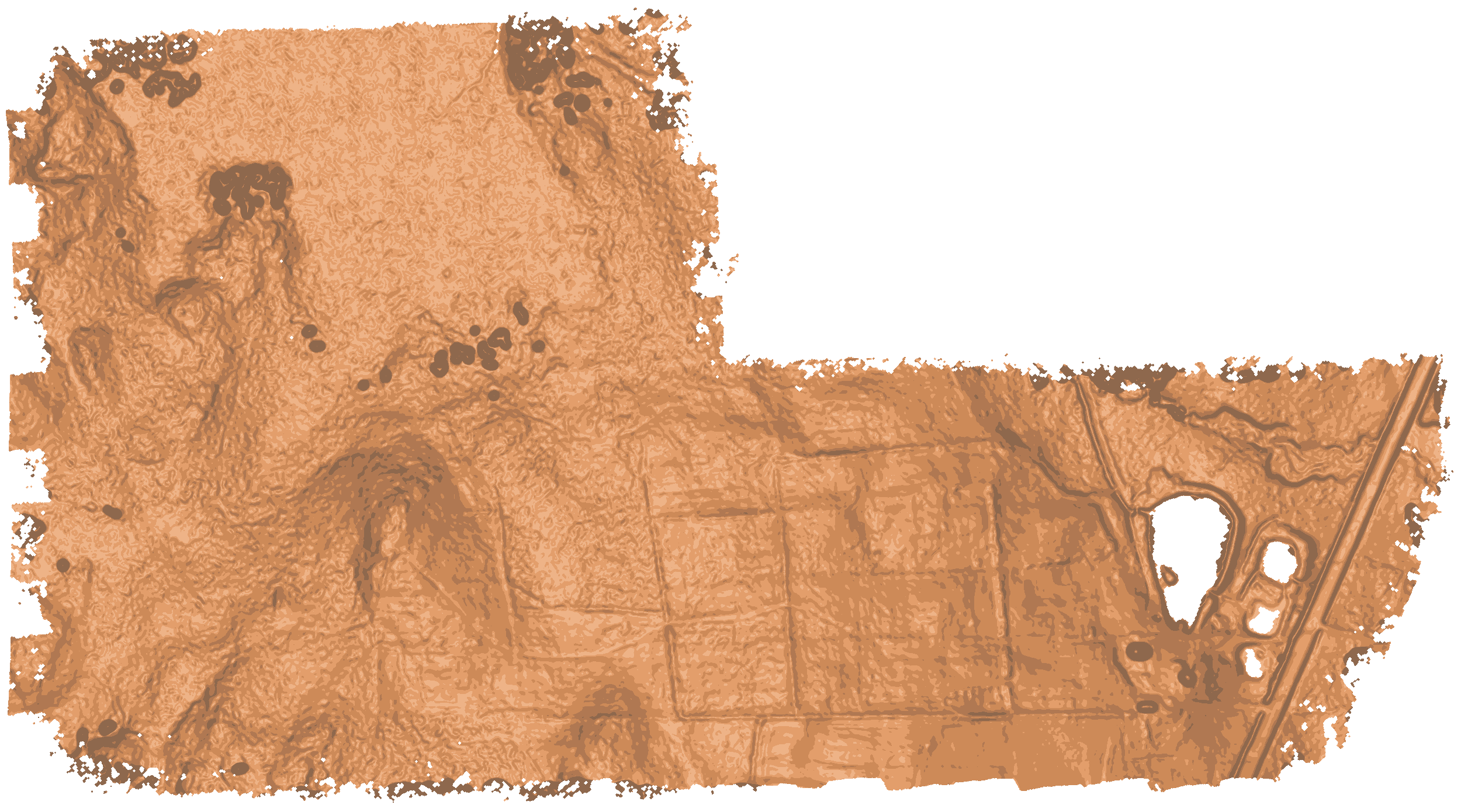
Ground is extracted point by point and modelled at 0.5 m: relief, hollows and ditches become visible despite the canopy. 1 m contours complete the picture.
- 3
Canopy height and tree type
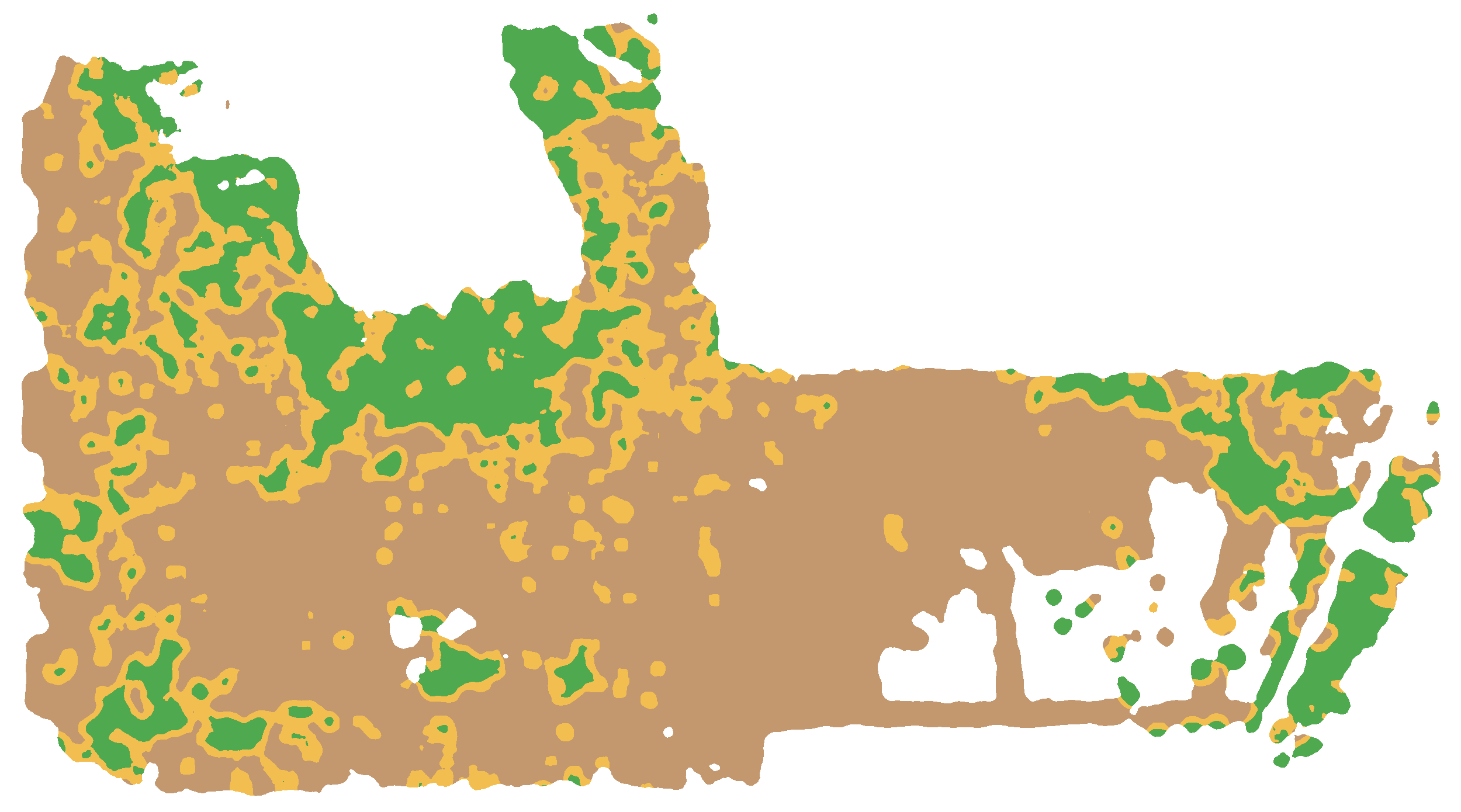
Canopy height is computed at 0.25 m. Softwoods, still green in April, are separated from hardwoods using 5 cm colour.
- 4
Flow and tubing
Each square metre of hardwood forest “flows” to the lowest point. Main lines and laterals follow those paths to collection points. Overly flat segments are flagged.
- 5
Ground validation
Species, diameters and obstacles are confirmed in the field before installation. The delivered layout is preliminary: it guides design with a maple advisor or installer.
Results
| Indicator | Result |
|---|---|
| Area surveyed | 58 ha |
| Favourable maple area | 35 ha |
| Hardwood forest | 27 ha |
| Crowns detected | 9,493 |
| Collection points | 6 |
| Main lines / laterals | 1.9 km / 2.5 km |
Stand breakdown
- Hardwoods27 ha
- Mixed9.5 ha
- Softwoods8.2 ha
- Hardwood / softwood crowns7,564 / 1,929
- Ground elevation116 to 182 m
At a glance, the owner sees where to focus development, which stands to prioritize and where the network will exit the forest naturally — before cutting the first ribbon.
What the producer receives
- A stand map: hardwoods, mixed and softwoods delineated from canopy height and spring colour.
- Under-canopy terrain at 0.5 m, with 1 m contours: hollows, ditches and old trails become readable.
- A preliminary tubing layout: main lines and laterals following natural flow, with flat segments flagged.
- KML and KMZ files to open in Google Earth or on a phone to walk the routes on site.
- An interactive map to view and share easily.
Interactive map
Photo / relief basemaps, stands, slopes, tubing and collection points — explore the deliverable as in the field.
What’s next? From planning to installation
The deliverable guides the field visit and final design. A maple advisor or installer validates species, diameters and obstacles before tubing goes in. A second survey after construction can document the network as installed.
Client
Forest owner — Eastern Townships
Sector
Forestry & agriculture
A similar project?
Let’s discuss your specific needs and how we can support you.
Your forest, ready for a maple bush
Assessing maple potential, expanding a bush or planning a new tubing network? We can produce the same portrait of your woodlot.
Project visuals