
Certified drone services in Quebec
Certified drone operator — Level 1 complex operations
Three ways to use our services
You can hand us an end-to-end mission, ask us to fly your aircraft, or have your pilots operate under our structure (CICAR). In every case, we work with you to choose the collaboration model that fits your project.
Turnkey service
HighCloud® handles everything: team, equipment, planning, execution and deliverables — including visual inspection and radiometric thermography. You define the need, we deliver the mission.
Flying your aircraft
We fly your aircraft. You provide the equipment, HighCloud provides certified pilots and a compliant operational framework.
Operate under our structure
Your pilots operate under the HighCloud operational structure (CICAR). Compliance, procedures and traceability without building your own organization.
Online training centre
TP-15263 basic and advanced paths available online 24/7, Transport Canada exam preparation and support through to complex operations. Dedicated campus for registration.
In the field
Our team on mission
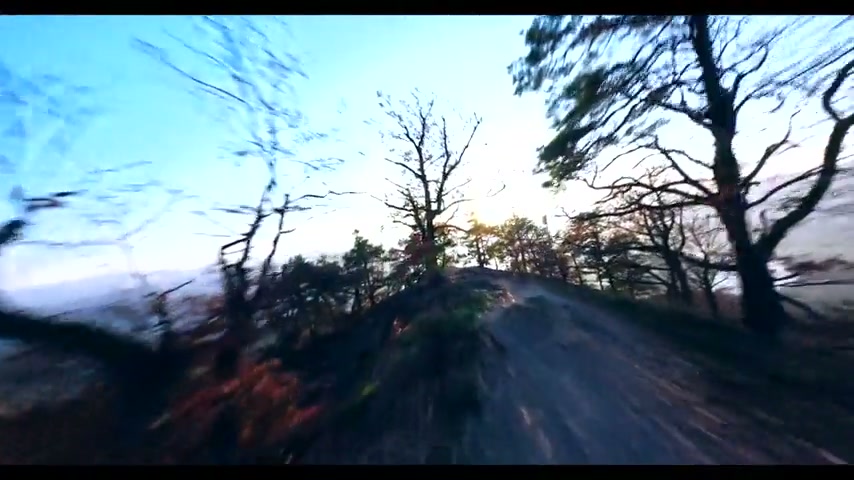
Preparation, deployments and deliverables — what our crews actually do on your sites.
Strategic sectors
We operate in demanding environments, with the same structure and compliance requirements for each sector.
Public safety & emergencies
Aerial support for emergency services: search and rescue, incident assessment, thermography (hot spots) and crisis management.
Critical infrastructure
Visual and thermal inspection of structures, energy networks and sensitive facilities without service interruption.
Mining & natural resources
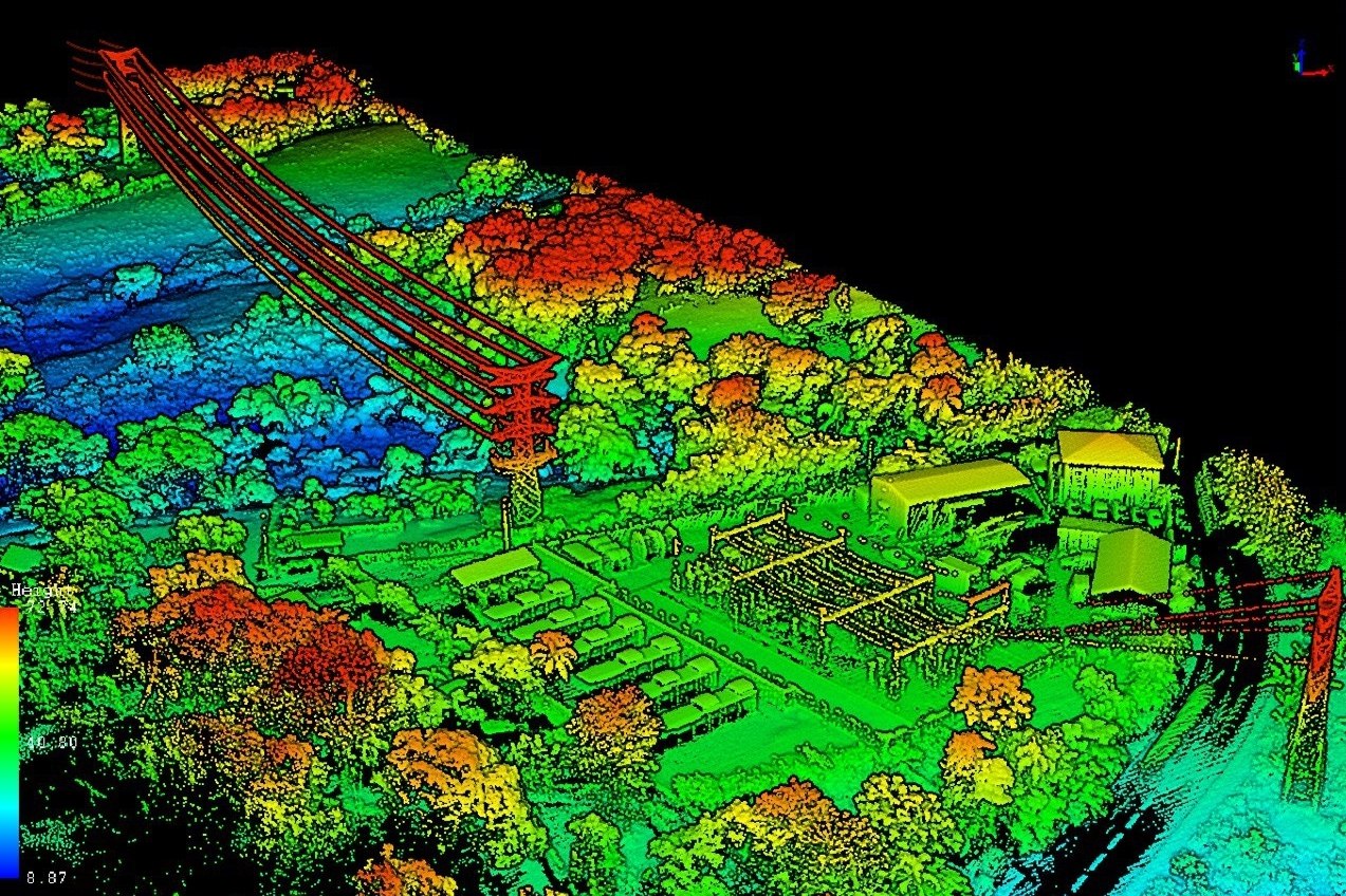
Topographic surveys, environmental monitoring, forest inventory and mining volumetrics with centimetre precision.
Construction & engineering
Site monitoring, 3D modelling, structure inspection and mapping for large-scale projects.
Forestry & agriculture
Multispectral imagery, crop health mapping, input optimization in drone operations (RPAS).

 Proudly Québécois and Canadian operator
An operator from here, serving industries here
Born in Quebec, HighCloud is first and foremost a Québécois company — a Transport Canada–certified operator serving local industries here and across Canada. In a more unpredictable trade climate — tariffs, strained supply chains — we bet on local know-how: jobs, partners and capacity that stay in the country.
Quebec roots
Headquartered in Quebec, missions across Canada.
Certified operator
Transport Canada certified, compliance built here.
Local industry
A Québécois partner for organizations across Canada.
Why HighCloud is different
RPAS operator for Level 1 complex operations: demonstrable structure, verifiable compliance, missions that deliver.
Operational structure
Clear direction, operations, safety and compliance. PIC roles, observers and risk management documented for reproducible missions.
Learn moreRegulatory compliance
Explicit alignment with Transport Canada: ROC, SFOC as needed, CARs, SGS-type approach and Operations Manual. Meets institutional buyer and audit requirements.
Learn moreAdvanced and complex operations
Ability to run critical and demanding operations — northern, industrial, infrastructure — with the same safety standards.
Learn moreDedicated infrastructure (CloudDock)
Automated deployment system (DJI Dock 2/3) adapted to our operations and structure. On-site base, maintenance, logistics and traceability — an organization ready for production.
Learn moreCompliance & regulation
HighCloud operates within Canadian requirements. Our processes and documentation are aligned with Transport Canada and demanding client expectations.
- ROC (drone Operator Certificate)
- SFOC as needed (Special Flight Operations Certificate)
- SGS-type approach / documented risk management
- CARs (Canadian Aviation Regulations)
- Updated MANOPS (Operations Manual)
- Insurance and risk management suited to drone operations (drone)
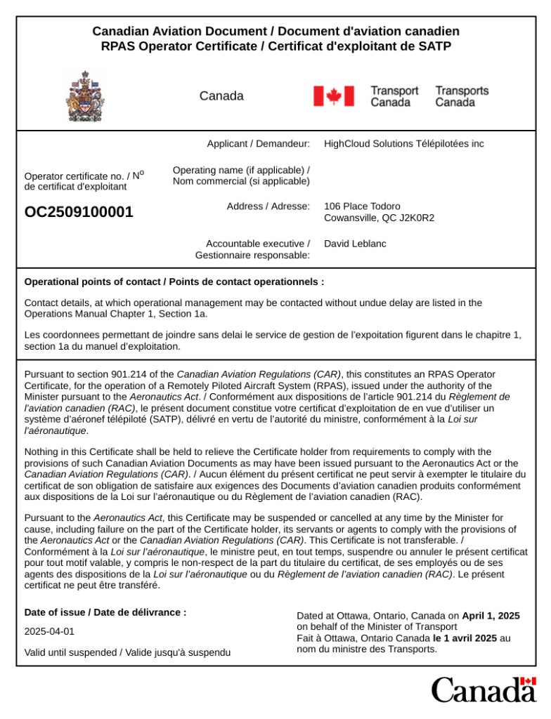
Compliant documentation
Transport Canada — OC2509100001
No aviation fuel: 100% electric operations
At HighCloud we use no aviation fuel — our flights are battery-powered. The tonne figure below estimates the CO₂ that comparable missions would have emitted with a helicopter (fuel not burned because the work was done by drone).
2,500 h
cumulative drone flight hours (estimate over 10 years)
≈ 300 t
helicopter-fuel CO₂ not emitted (estimate)
How is this figure calculated?
HighCloud does not operate on kerosene or avgas. To illustrate avoided impact, we compare to a light-to-medium helicopter on the same type of mission (surveys, inspection, etc.): an indicative assumption of about 120 kg CO₂ per helicopter flight hour. The hour total above is an internal cumulative total of drone flight hours (aircraft in flight) over the stated period. Battery charging on the grid may add a small residual footprint, with no aviation fuel combustion.
CloudDock
System adapted to our operations and structure
CloudDock
Automated deployment system (DJI Dock 2/3) that we have adapted to our operations and structure. On-site base, maintenance, logistics and traceability — reproducible missions and day-to-day compliance.
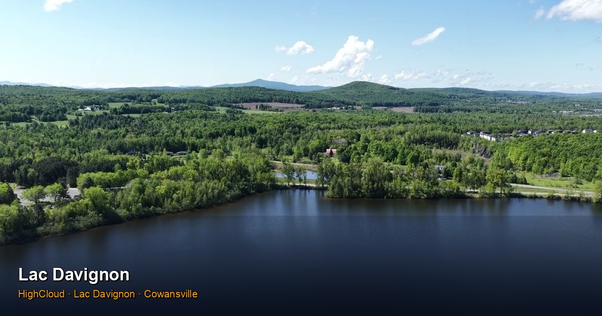
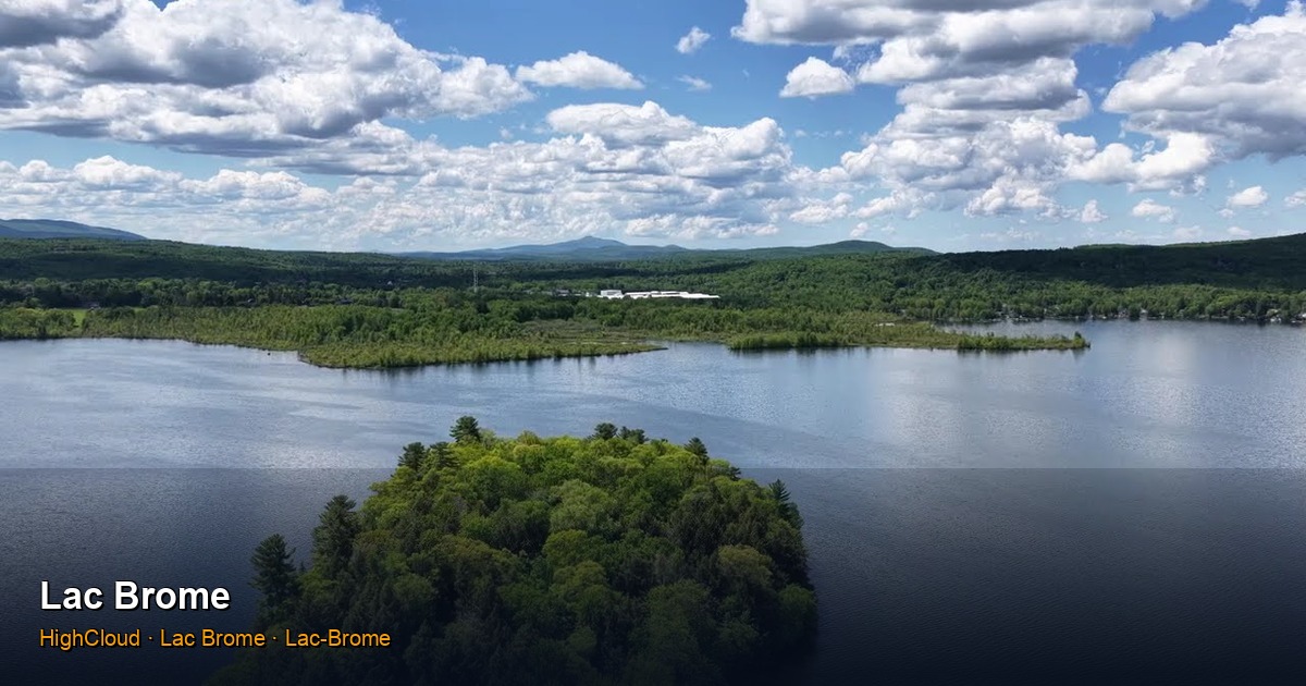
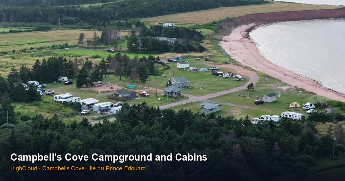
Discover CloudDockExplore our locations in 360° and 3D
Immersive panoramas, aerial films, 3D visits and per-location galleries — see the field as if you were there.
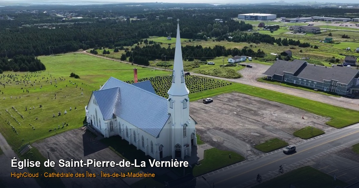
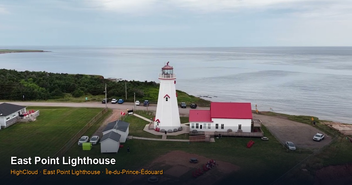
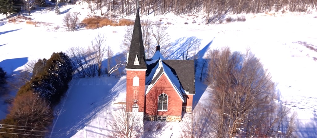

Explore, share, publish
Stratus, websites and 3D visualization — to extend the mission beyond the flight.
Proof & references
Case studies, field feedback and news — compliance and results delivered.
SOPFEU — Points chauds / appui opérationnel
Soutien aérien aux opérations de lutte contre les incendies forestiers par détection thermique aérienne.
Read the case study
Livraison médicale par drone
Expertise réglementaire (RAC Partie IX), pilotage de prototypes de plus de 1000 lb et exécution opérationnelle complète pour un partenaire international du secteur médical au Canada.
Read the case study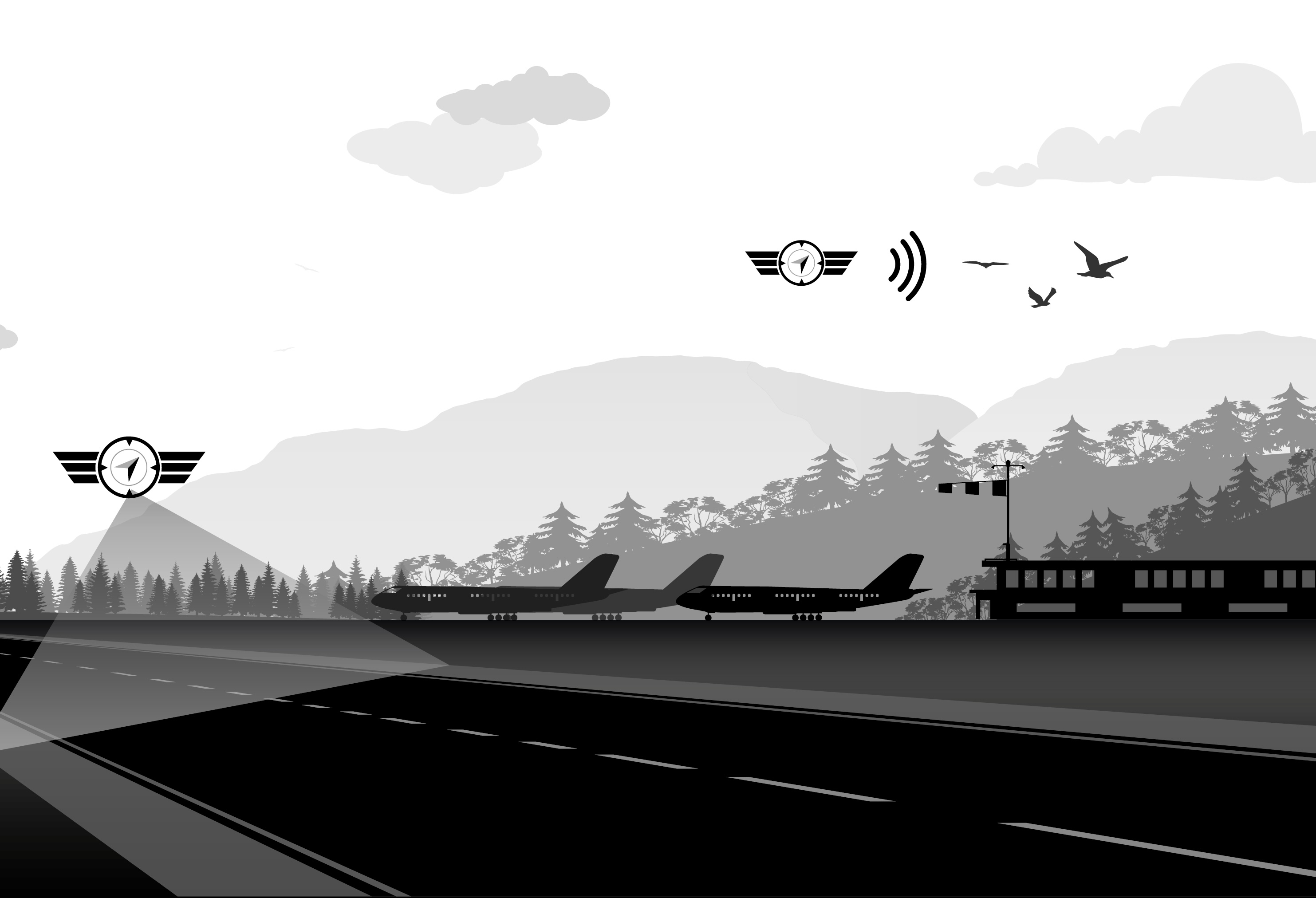
CZBM (Bromont) — Vérification des PAPI par drone
Depuis 2017, vérifications PAPI par drone à Bromont (CZBM). Déroulement typique : environ 15 minutes par seuil de piste (~30 minutes pour une piste à deux seuils), avec lecture à haute précision depuis un profil stabilisé.
Read the case studyAlso on the blog
Interfering with a drone: could it be a criminal offence in Canada?
A commercial drone is an aircraft under the law. Criminal Code section 77 may apply to anyone who intentionally destroys, damages, or interferes with an RPAS in operation.
LiDAR or Photogrammetry?
LiDAR or photogrammetry: which technology should you choose for your aerial survey? HighCloud’s clear guide.
The HighCloud website: RPAS operations, Horizon, CESATP training, and the CAR Part IX guide
How our site brings together structure & compliance, sectors, Horizon, CESATP training, the CICAR program, and an educational guide to CAR Part IX — in French and English.
Discuss a project or request a quote
Talk to us about your compliant drone operation needs (RPAS) — Canada. Operator since 2016.