Sector 1
Public safety & emergencies
Public safety & emergencies
Aerial support for emergency services: search and rescue, incident assessment and crisis management.
- Search and rescue
- Incident assessment
- Tactical reconnaissance
- Crisis management
Solutions tailored to each sector in Quebec. Specialized expertise for demanding environments.
Since 2016
Years in operation
5
Sectors covered
OC2509100001
RPAS certificate
Complex ops lvl. 1
Operation level
Public safety, infrastructure, natural resources, construction and agriculture — proven expertise for demanding missions.
Aerial support for emergency services: search and rescue, incident assessment and crisis management.
Inspection of structures, energy networks and sensitive facilities without service interruption.
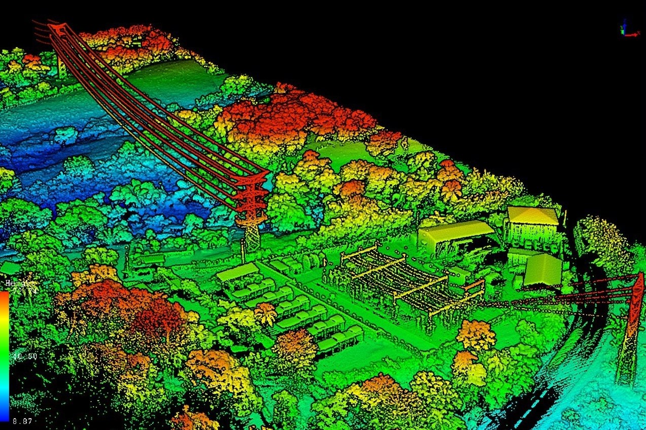
Topographic surveys, environmental monitoring, forest inventory and mining volumetrics with centimetre precision.
Site monitoring, 3D modelling, structure inspection and mapping for large-scale projects.
Multispectral imagery, crop health mapping, input optimization in drone operations (RPAS).
Whether emergency response, industrial sites or major construction — the same compliance framework, traceability and certified pilots.
Operations under an RPAS operator certificate and up-to-date operations manual.
Documented analysis, SFOC when required and procedures tailored to each environment.
Geospatial data, reports and mission evidence your teams can use immediately.
Concrete case studies across our main sectors of operation.
We adapt our solutions to many other contexts. Contact us to discuss your specific needs.