
Aerial support for emergency services
Search and rescue, wildfire response, tactical reconnaissance and crisis management — HighCloud deploys certified drone operations (RPAS), coordinated with authorities and fully documented end to end.
ROC
Certified operator
2016
In operation
2
Case studies
24/7
Thermography
Capabilities built for responders
Police, fire services, SAR, municipal emergency management and agencies such as SOPFEU: we adapt mission profiles, sensors and data delivery workflows.
Search and rescue (SAR)
Rapid aerial coverage of large areas, visual and thermal detection, mapping to guide ground teams — including at night when regulations allow.
Wildfire & firefighting support
Residual hotspot detection, orthorectified thermal mapping and georeferenced coordinates for ground crews — complementing traditional aerial assets.
Reconnaissance & damage assessment
Access to difficult or hazardous areas after floods, landslides or industrial incidents without unnecessarily exposing ground personnel.
Crisis management & coordination
Live overview, orthophotos and shared maps across command posts, services and partners for informed decision-making.
Documented operational chain
Every mission fits our operational structure: planning, authorization, execution, QA and traceability.
Planning & authorization
Area analysis, NOTAM, NAV CANADA / authority coordination, risk assessment and operation profile validation (VLOS, EVLOS, BVLOS as required).
Field deployment
Certified crew, checklists, command briefing and operational perimeter setup in coordination with first responders.
Acquisition & live feed
RGB, thermal or multispectral imagery; low-latency streaming; annotations and team tracking when required.
Delivery & archiving
Timestamped report, georeferenced deliverables (KML, PDF, orthomosaics) and archiving per our operations manual.
Mission technologies & tools
Radiometric thermography
Nighttime hotspot detection, thermal signature comparison and maps usable by ground teams.
Secure live streaming
Video feed shared with the command post for real-time situational awareness.
Mapping & orthophotos
Rapid coverage of affected areas, map overlay and GIS export.
Operating within the Canadian regulatory framework
Public safety operations take place in a strictly controlled airspace environment. HighCloud holds an RPAS operator certificate (ROC) and applies documented risk management.
- Emergency security perimeters (CAR 900.08): operations in service of a public authority or to save lives may be permitted inside the perimeter, unlike recreational flights.
- NAV CANADA coordination, NOTAM and restricted airspace when the situation requires it.
- SFOC and advanced operations depending on mission profile — documentation and traceability aligned with Transport Canada.
- Insurance, MANOPS and internal procedures suited to high-visibility missions.
References: CAR Part IX (Transport Canada), AIM 2025-1 — Emergency Security Perimeters.
Case studies — public safety
Documented missions with front-line organizations in Quebec.

SOPFEU — Hot spots / operational support
Air support for wildfire operations through aerial thermal detection.
Read case study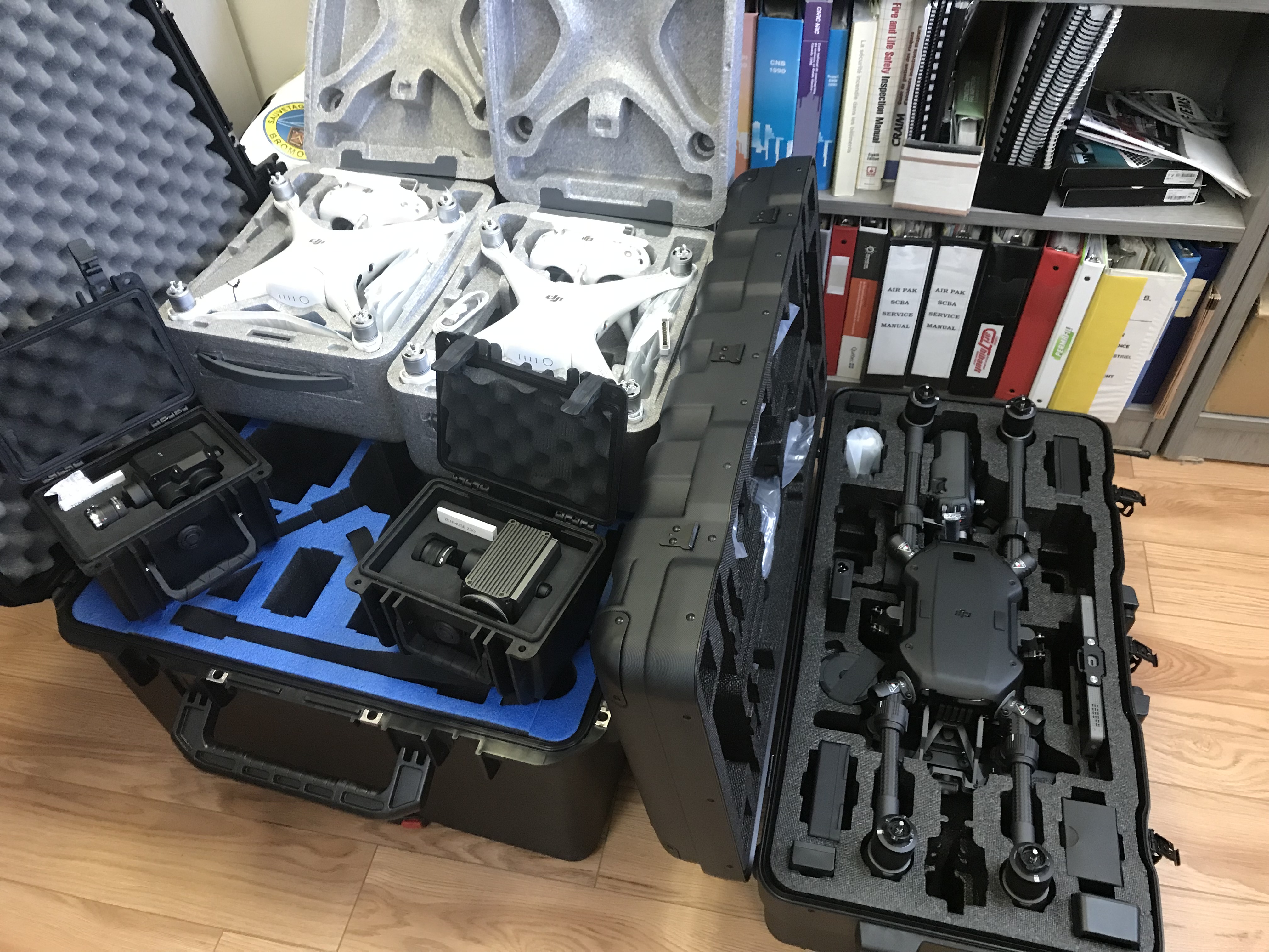
Bromont Fire Department (SSIB) — Training, deployment & SFOC (2018)
2018: 12 pilots trained and SFOC secured for SSIB aerial support. As of 2026, HighCloud continues to support the department with expertise, pilots and equipment when required.
Read case studyThey trust us
SOPFEU
Thermal and operational support on wildfires
SSIB Bromont
Training, SFOC and aerial fire support since 2018
Related resources
Plan a mission or demonstration
Let's discuss your operational context: perimeter, sensors, delivery timelines and coordination with your teams.