Site monitoring, modelling and drone inspection
Major projects, structures and complex sites: HighCloud delivers orthophotos, 3D models, visual and thermal inspections with certified drone operations (RPAS) — georeferenced deliverables for engineering and project owners.
ROC
Certified operator
Recurring
Time series
1
Case studies
Ortho · 3D · GIS
Deliverables
Capabilities for engineering and construction
Contractors, engineering firms, project owners and asset managers: we adapt frequency, resolution and formats to your project milestones and field teams.
Site monitoring & progress
Recurring orthophotos and 3D models to document progress, compare editions and support coordination meetings and progress reports.
3D modelling & point clouds
Photogrammetric reconstruction, DEMs and usable models for layout, quantities, visualization and stakeholder communication.
Structure inspection
Facades, roofs, structures and networks: visual or thermal collection without scaffolding, with georeferenced findings for maintenance and compliance.
Project mapping
Up-to-date reference plans, perimeters, areas of interest and GIS exports for planning, permits and built-asset management.
Documented production chain
From campaign planning to deliverable handoff: quality control, inter-edition consistency and formats usable by your teams.
Scoping & flight plan
Perimeter, target resolution, site constraints (public access, safety, access) and operation profile suited to the site or structure.
On-site acquisition
Photogrammetric flight or targeted inspection, checklists, coordination with site management and respect of intervention windows.
Processing & QA
Orthomosaics, DEMs, point clouds or inspection reports — precision validation and consistency with previous campaigns.
Delivery & archiving
GeoTIFF, LAS, PDF or findings sheets — campaign documentation and history for temporal comparisons.
Technologies & deliverables
Interactive example — Magog
Explore a 3D model from aerial photogrammetry — navigate the site freely as you would on a documented construction or infrastructure project.
Interactive example · Magog
Explore the 3D model — see controls below.
Click inside the viewer, then drag to look around · scroll wheel to zoom · ASDW to move · QE up / down
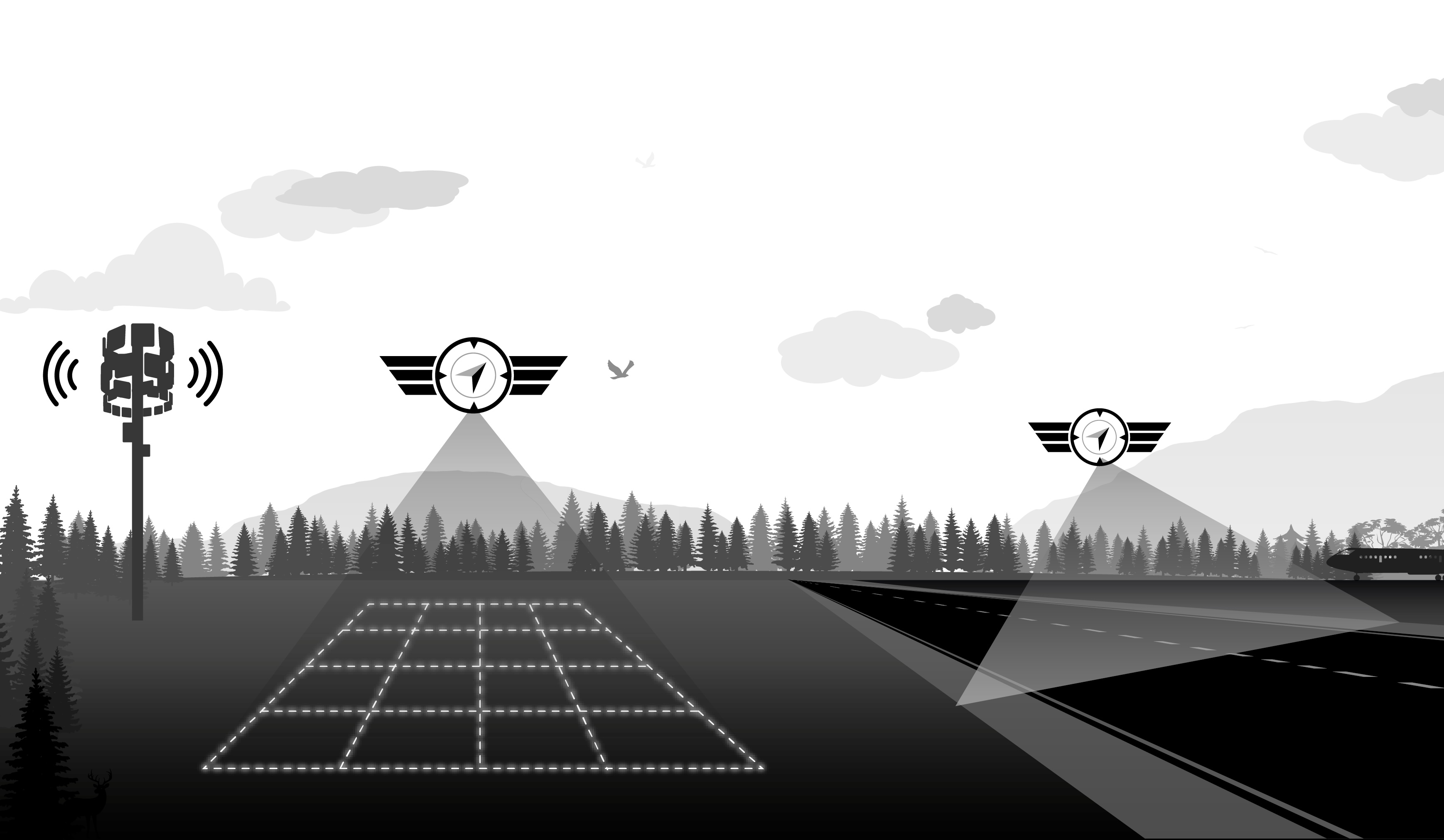
Operating on active sites and public spaces
Missions in urban areas or on active construction sites require rigorous planning and coordination with site managers. HighCloud holds an RPAS operator certificate (ROC) and applies documented risk management.
- Airspace planning and compliance with sensitive zones (airports, restricted areas, NOTAM when required).
- Coordination with general contractor, site safety and operators to minimize interference.
- Advanced operations depending on profile — documentation aligned with Transport Canada (CAR Part IX).
- Insurance, MANOPS and traceability suited to high-visibility projects and contractual deadlines.
References: CAR Part IX, AIM 2025-1 (RPA), construction site and safety best practices.
Case studies — construction & engineering
Documented missions in mapping, site monitoring and planning.
Granby Zoo — Annual site mapping
Annual aerial mapping of the site: an up-to-date reference of facilities to plan the evolution of the park and support informed discussions across departments.
Read case studyThey trust us
Zoo de Granby
Annual aerial site mapping for internal planning and coordination
Related resources
Plan a campaign or demonstration
Let's discuss your project: perimeter, campaign frequency, engineering deliverables and coordination with your teams.