Granby Zoo — Annual site mapping
Annual aerial mapping of the site: an up-to-date reference of facilities to plan the evolution of the park and support informed discussions across departments.
Context
Granby Zoo continuously evolves its facilities, habitats and guest areas. To plan those changes and align operations, maintenance, projects and communications, teams need a current, shared view of the site.
Constraints
Public site with sensitive areas (animals, visitors), flight windows coordinated with operations. Deliverables must be usable by non‑GIS specialists. Year‑over‑year consistency to track change over time.
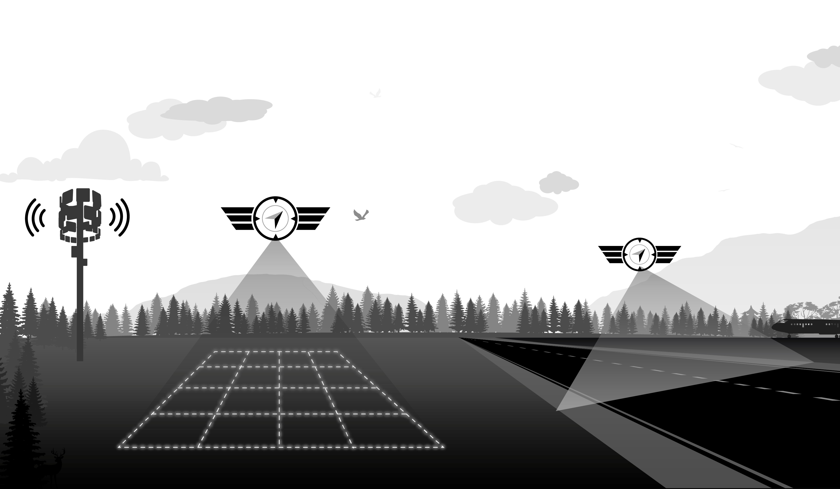
Approach
HighCloud runs a recurring (annual) drone mapping campaign with a stable processing chain: quality photogrammetric acquisition, QA, orthophoto production and exports compatible with the client’s planning tools. Each edition extends the historical series and provides a factual baseline for meetings and trade‑offs between departments.
Deliverables
- Georeferenced orthophoto of the site (current edition)
- Export packages suited to GIS or internal tools (as commissioned)
- Visual references to track changes in buildings, habitats and amenities
- Campaign documentation (metadata, extent, conditions)
Results
- 1Updated mapping reference each year to document site condition.
- 2Clearer view of how facilities evolve from one edition to the next.
- 3Shared basis to plan work and prioritize investments.
- 4Cross‑department discussions grounded in a common, current geographic base.
Client
Granby Zoo
Sector
Mapping & planning
A similar project?
Let’s discuss your specific needs and how we can support you.
View orthophotography & mappingGeoreferenced orthophoto (interactive preview)


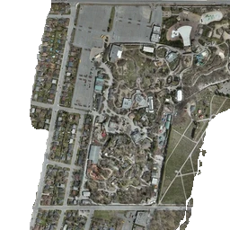
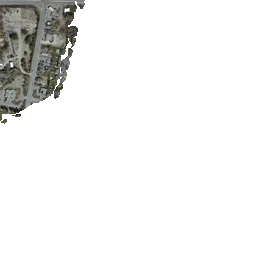
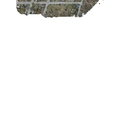


Tiled orthophoto (up to zoom 22) — zoom all the way in for full resolution. WebP fallback if needed. OpenStreetMap under transparent areas.
Explore in 3D (Gaussian Splatting)
Freely navigate a 3D model of the site — an immersive complement to aerial mapping.
Open 3D viewer