Inspection and monitoring without service interruption
Bridges, energy networks, industrial sites and airports: HighCloud delivers visual, thermal and georeferenced surveys with certified drone operations (RPAS), operator coordination and full traceability.
ROC
Certified operator
2017
PAPI at CZBM since
1
Case studies
~15 min / threshold
PAPI verification
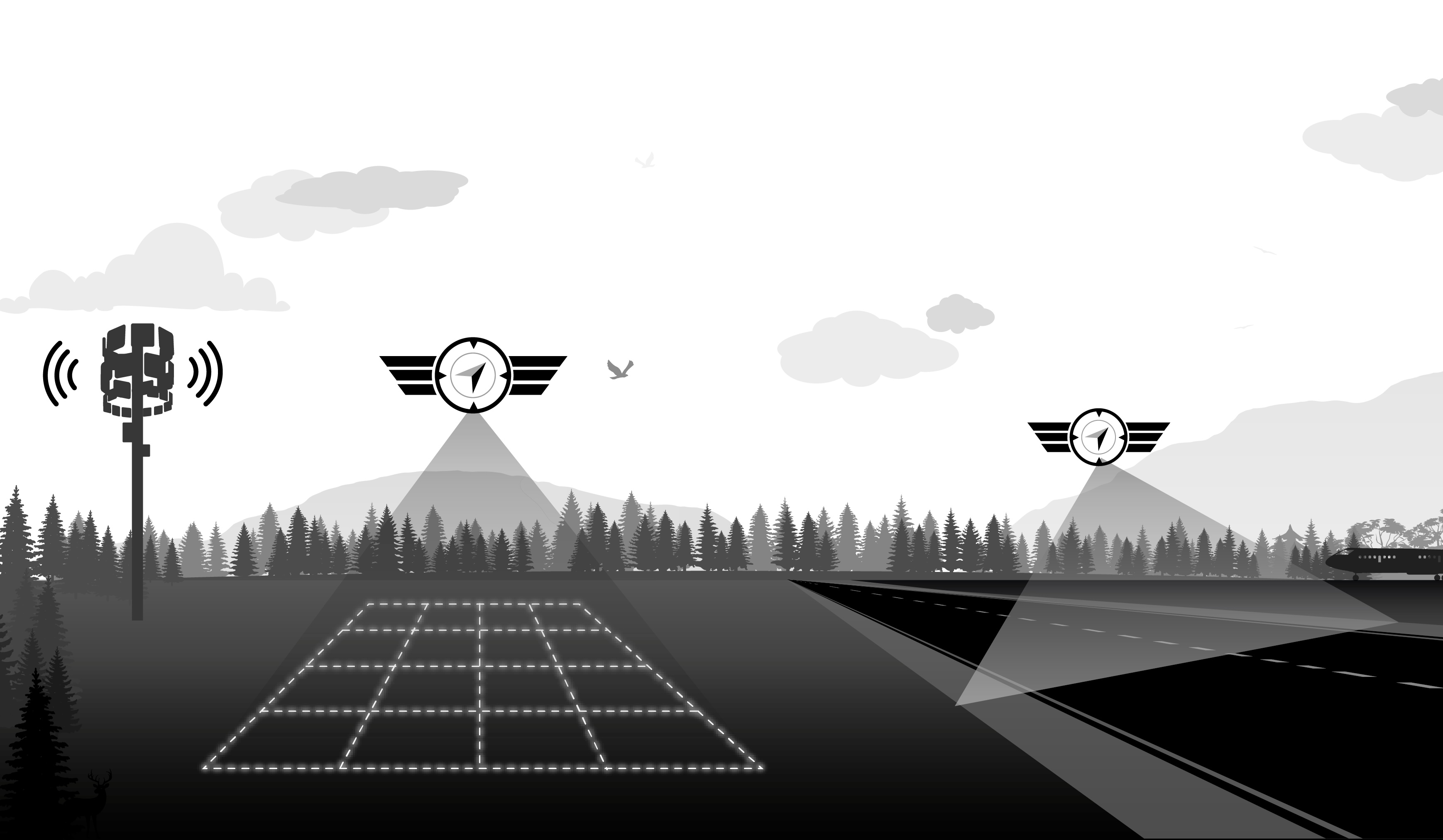
Capabilities for structures and sensitive sites
Infrastructure managers, airport operators, utilities and industrial clients: we adapt sensors, flight profiles and deliverables to your operational and safety constraints.
Bridges, viaducts & structures
Visual and thermal inspection of decks, piers, joints and hard-to-reach elements — without scaffolding or prolonged closures, with georeferenced findings.
Energy networks & utilities
Transmission lines, substations and corridors: visual spotting, thermography for hot spots or insulation defects, mapping for maintenance planning.
Industrial facilities
Structures, roofs, tanks and elevated equipment: systematic data collection for preventive maintenance and reduced personnel exposure.
Perimeter & asset monitoring
Recurring or one-off aerial coverage of sensitive sites, visual inventory and orthophotos for asset management and change tracking.
Documented inspection chain
Every campaign fits our operational structure: planning, authorization, controlled acquisition, QA and traceable delivery.
Scoping & authorization
Site analysis, operator coordination, NOTAM when required, risk assessment and operation profile validation (VLOS, EVLOS, advanced operations).
Repeatable flight profiles
Stabilized trajectories, checklists, crew briefing and perimeter setup — essential for NAVAID inspections and recurring structure surveys.
Multi-sensor acquisition
High-resolution RGB, radiometric thermography, photogrammetry or video sequences depending on the mandate and lighting conditions.
Findings & deliverables
Timestamped report, georeferenced images, orthomosaics or GIS exports — archiving per our operations manual.
Technologies & areas of expertise
Radiometric thermography
Detection of delamination, leaks, electrical hot spots and thermal inefficiencies on structures and networks.
Photogrammetry & orthophotos
3D models, point clouds and up-to-date mapping for asset inventory and work planning.
Operating near sensitive infrastructure
Critical infrastructure inspections require rigorous airspace planning and operator coordination. HighCloud holds an RPAS operator certificate (ROC) and applies documented risk management.
- Compliance with airspace restrictions: site selection tool, controlled zones and NAV CANADA coordination when the mission requires it.
- Coordination with airport operators, structure owners and competent authorities before any deployment.
- Advanced operations and SFOC depending on profile — procedures, insurance and traceability aligned with Transport Canada (CAR Part IX).
- Systematic pre-flight inspections and MANOPS suited to high-visibility, low-margin environments.
References: CAR Part IX, AIM 2025-1 (RPA), AC 922-001 — RPAS safety assurance.
Case studies — critical infrastructure
Documented missions on sensitive and airport sites in Quebec.
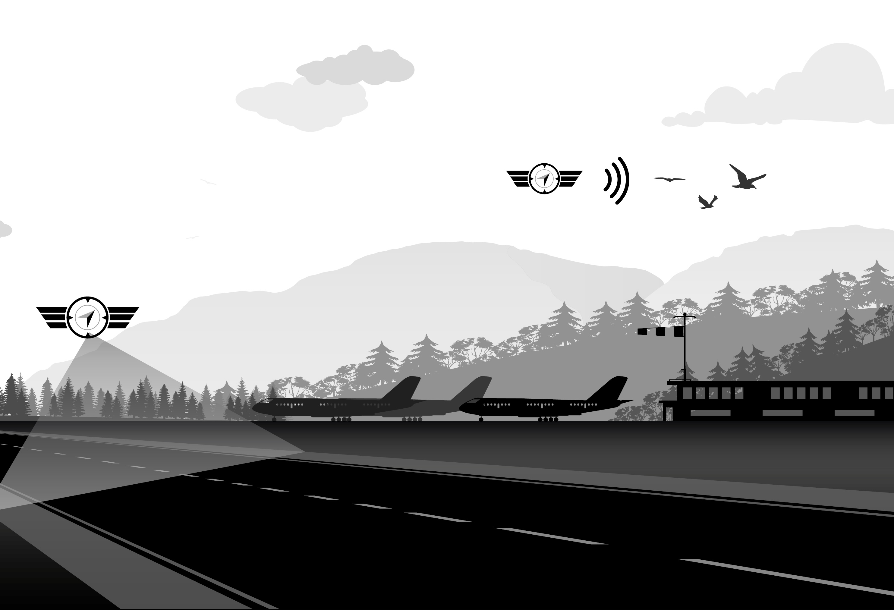
CZBM (Bromont) — PAPI verification by drone
Since 2017, PAPI verification by drone at Bromont (CZBM). Typical timeline: about 15 minutes per runway threshold (~30 minutes for both thresholds on one runway), with high-precision readings from a stabilized profile.
Read case studyThey trust us
Roland-Désourdy Airport (CZBM)
Drone PAPI verification since 2017 — Bromont
Airport operators
Tower coordination, NOTAM and repeatable flight profiles
Related resources
Airport infrastructure
PAPI, NAVAID and calibration — alternative to conventional flight inspections.
Learn morePlan an inspection or demonstration
Let's discuss your structure or site: access, sensors, delivery timelines and coordination with your operations teams.