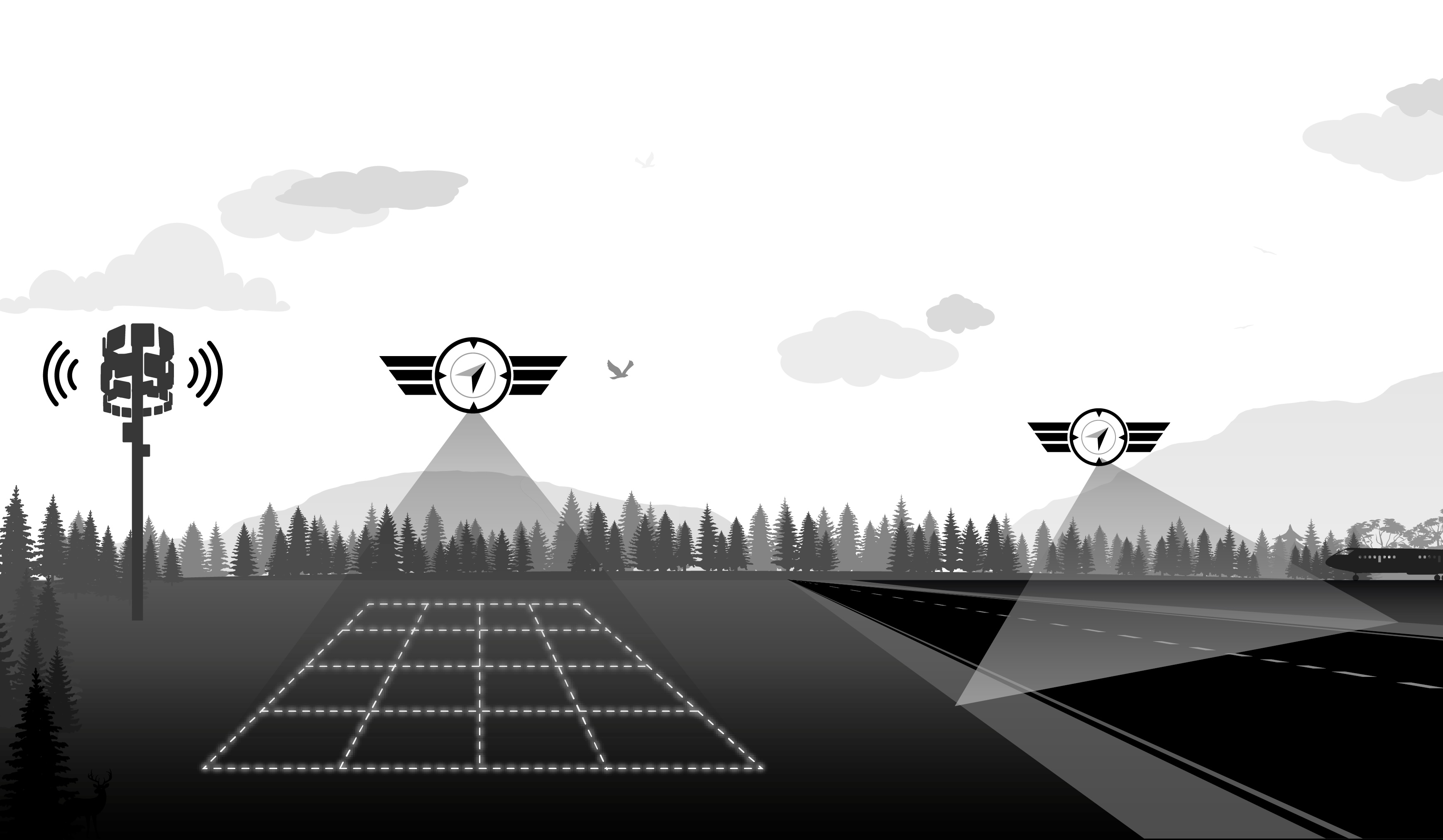
Precision agriculture and forestry by drone
Biological product application, multispectral imagery, crop health mapping and yield monitoring — HighCloud deploys certified drone operations (RPAS) adapted to fields, orchards and forest land.
ROC
Certified operator
SFOC
Aerial application
0
Case studies
Multispectral
Sensors
Capabilities for agriculture and forestry
Producers, cooperatives, forest managers and agronomists: we adapt sensors, flight profiles and deliverables to your crops, seasons and terrain constraints.
Multispectral imagery
NDVI and vigour index mapping to spot water stress, disease or deficiencies before yield impact — foundation for targeted precision management.
Crop health mapping
Orthophotos and thematic maps to analyse field condition, plan interventions and track changes over time.
Biological & ecological aerial application
Precise application of biopesticides and ecological products — uniform coverage, hard-to-access areas and more targeted deployment than conventional means.
Yield monitoring & input optimization
Time series, zoning and data to adjust fertilization, irrigation and rotation — reduce waste and improve sustainability.
Field-adapted operational chain
From mission planning to map and report delivery: safety, compliance and deliverables usable by your agronomic teams.
Assessment & mission plan
Crop, area, objectives (application, mapping, multispectral), access constraints and operation profile (VLOS, SFOC for application).
Acquisition or application
Photogrammetric flight, multispectral sensor or product application — checklists, weather and coordination with the farm operation.
Processing & analysis
Orthomosaics, vegetation indices, zoning or application report — quality control and deliverable validation.
Delivery & recommendations
Maps, GIS exports, agronomic summary or coverage confirmation — archiving for inter-season comparisons.
AgriDrones services & technologies
Operating in agriculture and forestry
Aerial application and imagery collection in agricultural settings require a strict regulatory framework. HighCloud holds an RPAS operator certificate (ROC) and SFOC experience for application operations.
- Application operations governed by SFOC and CAR Part IX — documented procedures, insurance and traceability.
- Compliance with sensitive zones, neighbours and weather windows suited to application.
- Coordination with producers and agronomists on products, rates and treatment perimeters.
- MANOPS and risk management adapted to missions in fields, orchards and steep terrain.
References: CAR Part IX, SFOC (Transport Canada), precision agriculture best practices.
Case studies — agriculture & forestry
Documented missions in mapping, application and agricultural imagery.
No published case studies for this sector yet.
Field expertise
Producers & cooperatives
Broadacre, market gardening, orchards and vineyards
Forestry & land
Inventories, mapping and cover monitoring
Related resources
Plan a mission or demonstration
Let's discuss your fields or land: sensors, application, campaign frequency and deliverables for your teams.