
Mapping by remotely piloted aircraft (RPAS) has become one of the most important tools in the mapping industry today. RPAS operations have revolutionized how we collect geographic data, offering better precision, greater coverage and lower costs than traditional methods.
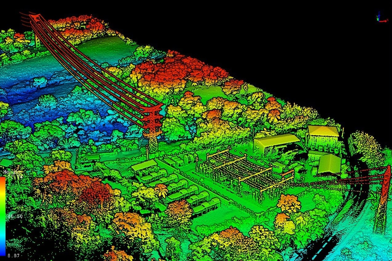
Remotely piloted aircraft are equipped with high-resolution cameras, LiDAR sensors and image processing software to capture detailed aerial imagery and topographic data. This data is then used to create topographic maps, digital terrain models (DTMs) and orthophotos. Topographic maps provide information on terrain elevation and shape, while DTMs allow 3D visualization of the terrain. Orthophotos are corrected aerial images aligned to the ground, enabling accurate visualization of buildings, roads and land.
RPAS are used to map hard-to-reach areas such as forests, mountains and coastal zones. They are also used to map urban areas for building inspection, urban planning and wildfire management. RPAS operations also make it possible to monitor environmental changes such as landslides, coastal erosion and deforestation.
In the mapping industry, RPAS operations are increasingly replacing traditional methods such as aerial photography, GPS surveys and field studies. RPAS offer significant advantages in speed, precision, flexibility and lower cost.
In summary
RPAS mapping is an essential tool for mapping professionals, offering better precision, greater coverage and lower costs than traditional methods. Technological advances continue to improve RPAS capabilities, paving the way for new applications in the mapping industry.